VNIIFTRI scientists take part in the 14th International Conference "Multi-GNSS Asia" - 2024

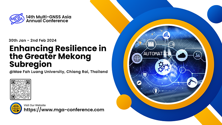
Moscow Region, January 17, 2024 – Moscow Region, February 01, 2024 – Specialists of the Research Department for the Development and Operation of Metrological Support for Coordinate-Temporal and Navigation Systems of the Russian Metrological Institute of Technical Physics and Radio Engineering (VNIIFTRI) of Rosstandart took part in the meetings of the 14th International Conference "Multi-GNSS Asia” - 2024, which takes place from January 30 to February 2 in Thailand under the auspices of the organization “Multi-GNSS Asia”.
"VNIIFTRI, as the head institute of the Rosstandart system in terms of metrological and fundamental support for the Global Navigation Satellite System (GNSS) GLONASS is obliged to keep abreast of the latest achievements in the field of GNSS. Participation in such major international events as the “Multi-GNSS Asia” conference allows you to learn about research projects, technologies, products and services in this rapidly developing field firsthand," noted Oleg Denisenko, Deputy General Director of the FSUE “VNIIFTRI” for Coordinate-Temporal Measurements.
At the same time, VNIIFTRI specialists participated in the work of the Task Forces of the Working Group S on Systems, Signals and Services of the International GNSS Committee. The central topics of the meetings were the international monitoring and evaluation of GNSS characteristics, as well as the provision of high-precision services based on PPP technologies*.
“Multi-GNSS Asia” (MGA) organization was established to promote the use of Global Navigation Satellite Systems in the Asia-Pacific region. The Multi-GNSS project in Asia strengthens cooperation between the countries of the region in the field of GNSS to improve the accuracy, reliability and stability of navigation systems. MGA works with several global navigation systems, such as the American GPS, the Russian GLONASS, the European Galileo and the Chinese BeiDou, among other regional systems.
“Multi-GNSS Asia Conference” is held annually and brings together representatives of industry, government organizations and academia from all over the world.
* The PPP (Precise Point Positioning) is a method of absolute point positioning based on the use of satellite correction information containing corrections to ephemerides and time of on—board clocks of navigation satellites and atmospheric corrections within a local area, allowing to determine the spatial coordinates of objects with an accuracy of several decimeters to several centimeters for the epoch of measurement.
Спасибо! Заказ успешно отправлен.